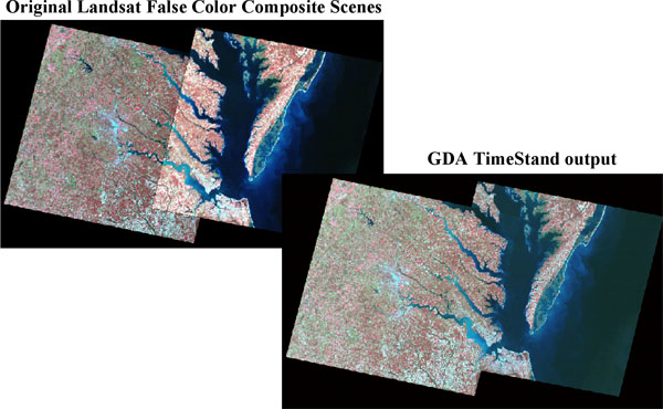
Automated Software for Radiometric Standardization of Multiple Scenes for Analysis and Mosaicing (TIMESTAND)
GDA Corp. has developed a fully automated GIS system – TimeStand– for radiometric standardization of multiple imagery acquired at different time / dates. TimeStand compensates for radiometric differences between scenes due to the variation in solar illumination, view angles, and/or atmospheric properties. TimeStand results in enhanced image mosaicing and allows for the propagation of spectral rules or signatures developed for the supervised classification from one scene to another.

